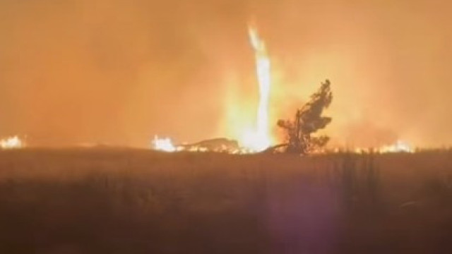

The scattered showers, if they occur, will not impact fire-prone areas, according to a meteorologist from Portugal’s Institute for Sea and Atmosphere (IPMA).
“What will help is the drop in maximum temperature values and the increase in relative humidity starting the night of the 23rd [Saturday] to the 24th [Sunday], that’s what helps,” she stated.
The IPMA forecast for today and Saturday, as explained by Maria João Frada, predicts slightly cloudy or clear skies with a small rise in temperatures in the northern and central regions, with higher values expected in the Tagus Valley, interior Alentejo, and central interior.
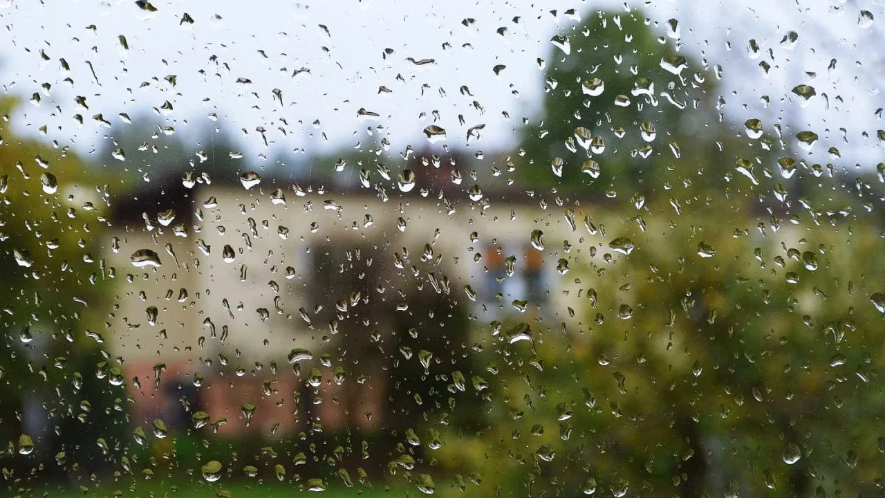
“Then on Sunday, we generally expect more clouds across the territory, morning fog, and later in the afternoon, a temporary increase in cloudiness with favorable conditions for scattered showers and thunderstorms, but these will be isolated to the central and southern regions,” she added.
On Sunday, according to Maria João Frada, temperatures are expected to drop by 2 to 3 degrees, depending on the region, potentially reaching declines of 5, 6, or even 7 degrees Celsius.
“We will reach Sunday with maximum temperatures surpassing 30 degrees, between 30 and 33, only in some interior locations; in other areas, they will be lower. On Sunday, we’ll have weaker winds from the west and more humidity, which will be more favorable for combating fires and their spread,” she indicated.
The showers expected on Sunday, if they occur, will be very scattered, according to the IPMA meteorologist.
“A few days ago, models suggested more consistent precipitation in the north and center due to a front crossing the continent. Now, this front loses activity and dissipates west of the mainland. What we have is just a trough and a high-level atmospheric depression producing scattered showers that may not fall where fires are occurring,” she said.
Starting Monday, a high atmospheric depression over mainland Portugal may still result in some showers, but they will be scattered and with little chance of thunderstorms, according to the meteorologist.
“Starting in the afternoon [of Monday], we have a rise in maximum temperature extending to Tuesday, and in principle on Wednesday, though it’s still a long way off, there will be a decrease in temperature. We no longer have temperatures as high as in the first half of August,” she explained.