

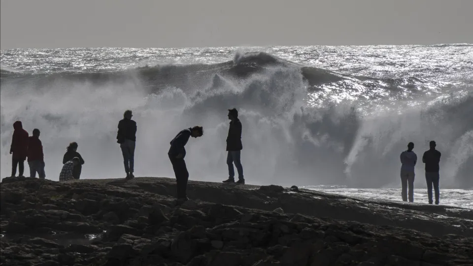
The Maritime Authority announced that sea disturbances “will be characterized by swells coming from the southwest quadrant, with significant heights reaching up to seven meters and maximum heights of 12 meters.”
Winds from the south-southwest quadrant are anticipated, with an average intensity of up to 93 kilometers per hour and gusts reaching 168 kilometers, progressing into a “cyclonic situation,” it noted.
The islands of the Western and Central groups of the Azores will be under a red warning starting Thursday night due to heavy rainfall, sea disturbances, and wind as Cyclone Gabrielle approaches.
The cyclone was located on Tuesday “approximately 2,640 kilometers southwest of the Azores’ Western Group,” moving northeast.
According to the Azores surveillance center, Gabrielle is currently classified as a Category 4 hurricane on the Saffir-Simpson scale (ranging from 1 to 5, where 5 is the most severe).
However, it is expected that “as it approaches the Azores archipelago, it will lose intensity, reaching the region with tropical storm force winds or as a Category 1 hurricane,” meteorologist Rita Mota stated.