
“The system formerly known as Hurricane Gabrielle has lost some of its hurricane characteristics. Currently, it’s best described as a post-tropical cyclone,” meteorologist Tânia Viegas stated today.
Viegas, stationed at the Azores Regional Delegation of the Portuguese Institute for Sea and Atmosphere (IPMA) in Ponta Delgada, São Miguel Island, explained that due to less favorable environmental conditions for maintaining tropical features, the hurricane “has lost some characteristics, notably the ‘eye’.”
“The characteristic ‘eye’ we’re familiar with is not as visible now, lacks verticality, has acquired some tilt, and the system is no longer as circular, appearing more dispersed,” she explained.
However, she added, “This doesn’t necessarily mean— and in this case, it doesn’t mean— that it has lost intensity or that wind gusts are decreasing.”
“On the contrary, there are instances, and this is one of them, where such a transition may even result in some intensification,” she indicated.
Viegas further noted that the latest information suggests “some decrease in intensity,” but the forecast for 6:00 AM local time (7:00 AM in Lisbon) today indicates a “new intensification just as it passes over the Central Group of the Azores (Pico, Faial, Graciosa, Terceira, and São Jorge).
Forecasts indicate that by 6:00 AM today the hurricane will be 44 kilometers southeast of Terceira Island, “very close to land” with expected average wind speeds of 120 kilometers per hour (km/h) and gusts reaching at least 150 km/h,” she added.
“Of course, this is slightly below the initially announced 200 km/h gusts, but those would have been very isolated incidents. […] Nevertheless, gusts of 150 km/h remain very intense and will certainly cause damage. We are discussing a situation occurring very close to land,” said the IPMA meteorologist in the Azores.
She emphasized, “Even though it is not ‘officially’ a hurricane, it maintains its intensity.”
“Therefore, the fact it’s not a hurricane and is a post-tropical cyclone is merely a technical matter, not impacting the population,” she stated.
She reiterated, “The situation remains unchanged for the population.”
“All warnings and alerts remain fully valid under these new characteristics that do not mean, for the time being and not within the forecast timeframe, a decrease in intensity,” she indicated.
Tropical Cyclone Gabrielle began impacting the Azores at 10:00 PM local time on Thursday, and the Portuguese Institute for Sea and Atmosphere (IPMA) anticipates the “most critical period” will occur during early morning hours.
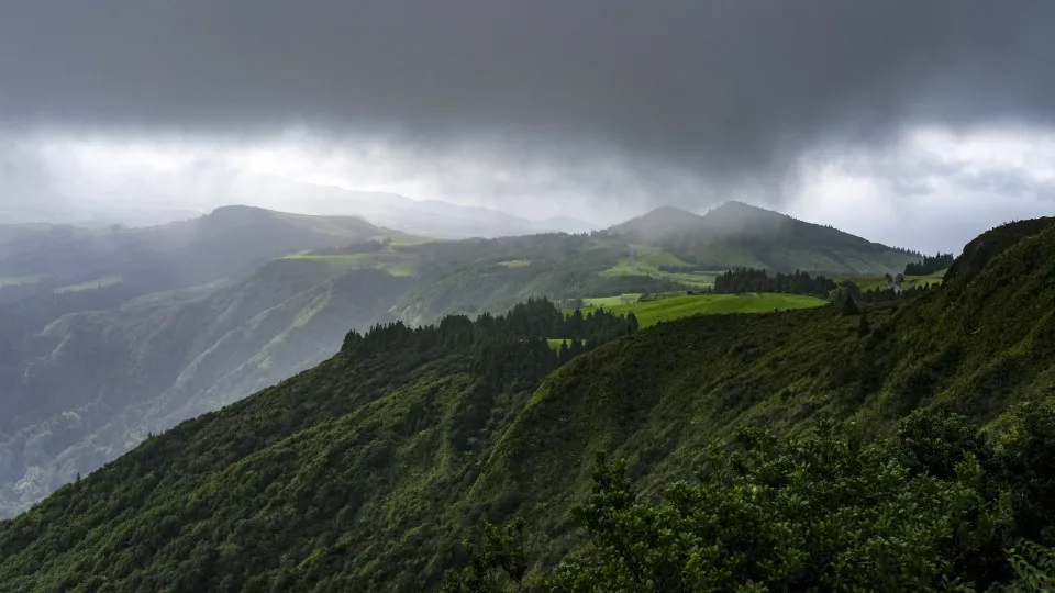
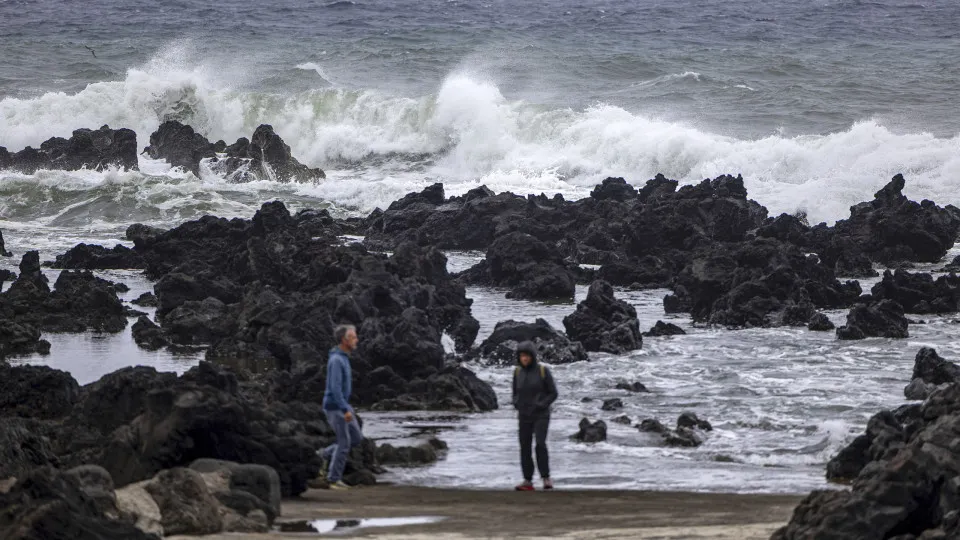
In the Central Group (Pico, Faial, Graciosa, Terceira, and São Jorge), expectations include “heavy rain, wind gusts around 200 kilometers per hour from the south, shifting to northwest, and maritime agitation with significant wave heights between eight and ten meters, with maximum waves potentially reaching 14 to 18 meters.”
In the Western Group (Flores and Corvo), there will also be heavy rain and gusts up to 130 kilometers per hour, with a similar wave pattern to the Central Group.
These two groups have multiple red warnings from the IPMA—the highest on a scale of three—until this morning.
In São Miguel and Santa Maria islands (Eastern Group), “periodically heavy rain” is expected, with gusts between 100 and 120 kilometers per hour, and waves up to nine meters in significant height.
The Regional Government declared an alert situation until 6:00 PM today in the Central and Western Groups, prohibiting certain activities.
On these islands, non-urgent and essential public services, including schools, were also closed.