

NQuercus has issued a statement highlighting what it describes as discrepancies in official data that misrepresent the condition of Portugal’s forests, creating a skewed statistical and political view of eucalyptus plantations.
These inaccuracies have serious implications for fire prevention and control, environmental assessment, and policy making.
Quercus urges an immediate overhaul in data analysis methods to ensure proper identification of forest species and updated data that reflect real-time conditions more closely.
The organization also calls for mandatory licensing and georeferencing of eucalyptus and other fast-growing species on an official state platform, enabling transparent and effective monitoring of land use and fire risk evolution.
The current land use classification system in Portugal, the association warns, consistently conceals the true extent of eucalyptus coverage, and without necessary corrective and transparency measures, the country will maintain an official narrative that distorts reality and endangers lives and property.
Citing recent rural fire statistics from the Institute for the Conservation of Nature and Forests (ICNF), which rank this year as the fourth worst for burnt area since 1996 with 254,296 hectares affected, Quercus says the analysis of the Land Use and Occupation Map (COS) and the Conjunctural Land Occupation Map (COSc) reveals structural deficiencies that impair the understanding of Portugal’s forest landscape and undermine official data.
These maps, crafted by the Directorate-General for Territory (DGT), utilize satellite images from the European Copernicus-Sentinel-2 program.
The COS is updated every five years, and the last edition of the high-precision orthophotomaps was in 2018, presenting a significant lag compared to the actual territory, notes Quercus.
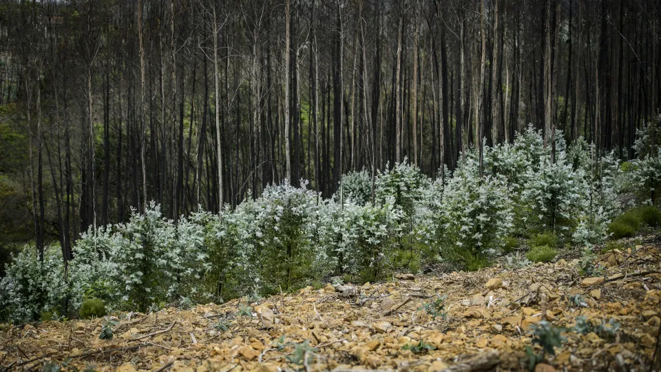
Moreover, the annual COSc map categorizes large areas of young eucalyptus as “scrub,” thus obscuring the true scope of this forest plantation practice.
Quercus provides two examples: the Arouca fire in 2024, which burned 6,500 hectares, 80% of which was eucalyptus. However, official information labels 62% of the area as “scrub fire.”
In the Pedrógão fire, the association adds, reports from the European Forest Fire Information System (EFFIS) indicate 80% as “scrub” in an area where 90% consisted of young eucalyptus or natural regenerations.
According to Quercus, forested areas are recorded as “scrub” during various stages of the eucalyptus cycle: up to five to eight years, until reaching five meters, after successive cuttings, or in regeneration status.
Quercus estimates that in large-scale fires, “tens of thousands” of hectares of plantations are reported to the public merely as “scrub,” minimizing the risk and real impact on territories and communities.