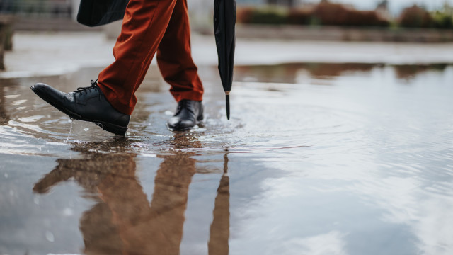
The much-anticipated rain has returned and is expected to persist for several days. The National Emergency and Civil Protection Authority (ANEPC) has issued warnings to drivers, emphasizing that these conditions require heightened caution on the roads.
“Poor visibility, loss of traction, and increased vehicle wear are the main factors contributing to driving hazards,” reads a note shared on social media.
It is therefore necessary to adjust “driving to the road conditions, visibility, vehicle condition and load,” as well as “traffic intensity”.
What should you do before starting your journey?
- Check that tires are in good condition and properly inflated;
- Ensure that lights and signaling systems are functioning well;
- Verify the good working condition of the braking system, windshield wipers, and the condition of the blades;
And what should you do while driving?
- Drive defensively;
- Increase the safety distance between vehicles;
- Respect speed limits;
- Pay special attention to possible water pooling on roads;
- Ensure your windows are demisted;
- Drive with your lights on.
Rain? Areas affected by fires are “more vulnerable”
“The Portuguese Institute for Sea and Atmosphere (IPMA) predicts periods of rain, sometimes heavy and persistent, especially in the North and Center regions,” reports ANEPC.
The agency adds: “Areas affected by rural fires, which are devoid of vegetation cover and have ash accumulation that acts as an impermeable material, are more exposed and vulnerable to precipitation”.
Thus, ANEPC explains that “the first rains can cause”:
- Loose objects being dragged onto roads and waterways;
- Slope instability, leading to mass movements (landslides, collapses, and others) due to water infiltration;
- Contamination of drinking water sources by debris from rural fires.
“The impact of these effects can be minimized through appropriate behavior,” it states.
And what preventive measures should be adopted in fire-affected areas?
- Clear rainwater drainage systems;
- Remove debris and other objects that could be washed away or obstruct water flow;
- Stay informed about weather updates and follow instructions from Civil Protection and Security Forces.
Warnings for the entire mainland Portugal
In the coming days, leaving your boots at home is not an option. The upcoming night, coinciding with the time change when clocks go back an hour, will see rain and thunderstorms in the Lisbon Metropolitan Area and Upper Alentejo.
This Saturday, ten mainland districts are under a yellow warning due to expected heavy rain, according to the Portuguese Institute for Sea and Atmosphere (IPMA). In the districts of Viseu, Guarda, Santarém, Lisbon, Leiria, Castelo Branco, Aveiro, Coimbra, and Portalegre, this warning is in effect until 3:00 p.m., while in Porto, the yellow warning is in place until noon.

The weekend will be grey across the mainland and islands. A frontal surface passage will first bring rain to the North and Center and later to Greater Lisbon and Upper Alentejo.
Tomásia Sousa with Lusa | 08:53 – 25/10/2025


