
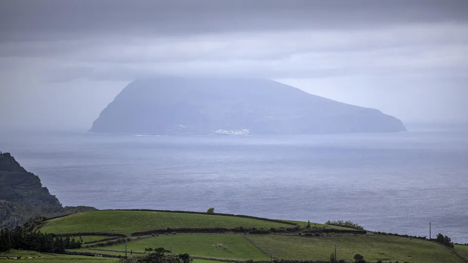
“Through radar images, we have already started to see the first rain bands associated with Tropical Cyclone Gabrielle approaching. This means, practically speaking, that it has already started raining on Flores, the wind is increasing in intensity, and soon it will begin to enter the Central group,” said the on-duty meteorologist at the Azores Regional Delegation of the Portuguese Institute for Sea and Atmosphere (IPMA) in Ponta Delgada, on the island of São Miguel, around 10:00 PM local time.
Flores and Corvo “have already experienced some intense precipitation,” and the island of Faial should start feeling the effects “within the next hour,” followed gradually by the islands of Pico and São Jorge, she indicated.
“The most critical period we are predicting will be during the early hours. In the Western group [Flores and Corvo], it will be from midnight [local time] until 6:00 AM. In the Central group [Pico, Faial, Graciosa, Terceira, and São Jorge], also from midnight but extending a bit longer until noon tomorrow [Friday],” she said.
Tânia Viegas stated that the initial effects of the cyclone reaching the Azores archipelago “are beginning to be felt in line with the warnings and all the statements issued so far.”
Tropical Cyclone Gabrielle is expected to pass the Azores as a Category 1 hurricane on the Saffir-Simpson scale (ranging from 1 to 5, with 5 being the most severe), causing a deterioration in the weather conditions.
In the Central Group (Pico, Faial, Graciosa, Terceira, and São Jorge), heavy rainfall, wind gusts up to 200 kilometers per hour from the south shifting to northwest, and sea agitation with waves between eight and ten meters in significant height, with maximum waves possibly reaching 14 to 18 meters, are forecasted.
In the Western group (Flores and Corvo), heavy rainfall and gusts up to 130 kilometers per hour, with sea conditions similar to those in the Central group, are expected.
These two groups have multiple red warnings from the IPMA—the most severe on a scale of three—between the end of today and Friday morning.
On the islands of São Miguel and Santa Maria (Eastern group), “occasionally heavy rainfall,” gusts between 100 and 120 kilometers per hour, and waves up to nine meters in significant height are expected.
The Regional Government has already declared an alert situation from 6:00 PM today to 6:00 PM Friday in the Central and Western groups, prohibiting certain activities due to the passage of the tropical cyclone.