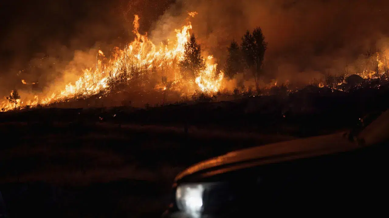

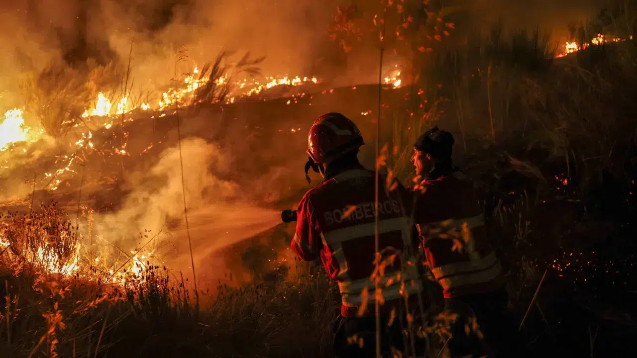
“We have some reactivations in Casal do Monte that firefighters are attempting to control, and a front advancing near Fraga da Pena, where an ICNF [Institute for Nature Conservation and Forests] tracked machine is creating a firebreak and there are personnel on site trying to halt the flames,” said Alexandre Lote, the vice-president of Fornos de Algodres city council (district of Guarda).
If the strategy at Fraga da Pena proves unsuccessful, the flames could move toward the villages of Muxagata or Maceira, “depending on the wind direction.”
The official mentioned a house burned down, allegedly a primary residence, in Casal do Monte, although this information had yet to be confirmed.
He added that during the day, it was not necessary to evacuate residents in Queiriz, Casal do Monte, and Aveleiros, the localities threatened by the fire that had spread from the municipality of Trancoso.
The mayor also criticized the absence of aerial resources in the afternoon.
“We were without aerial resources for four hours, which is incomprehensible. It caused the situation that was under control to become out of control again,” he lamented.
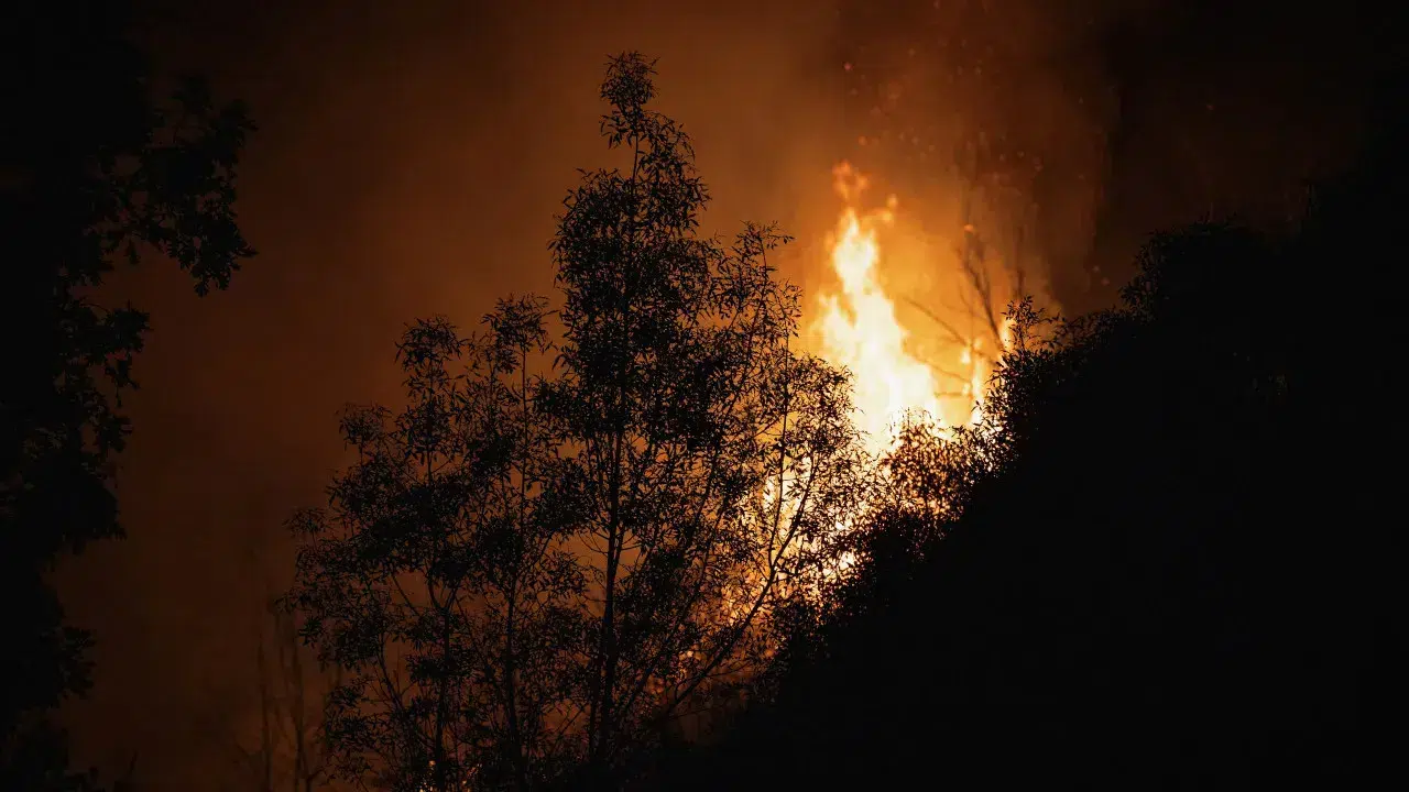
The forest fire, which began on Saturday in Trancoso, district of Guarda, has consumed nearly 14,000 hectares, according to estimates released today by the European Forest Fire Information System (EFFIS).
EFFIS, which relies on satellite imagery from the European Copernicus program, specifies that the burned area from the fire, which started in Trancoso and spread to the municipalities of Fornos de Algodres, Aguiar da Beira, and Celorico da Beira, totals 13,741 hectares.
The Institute for Nature Conservation and Forests (ICNF) indicates that since January 1, 63,247 hectares have burned in Portugal, half of which in the last three weeks.
The burned area this year is nine times larger than during the same period last year and is the second-largest since 2017.
Portugal is on alert due to the risk of rural fires since August 2.