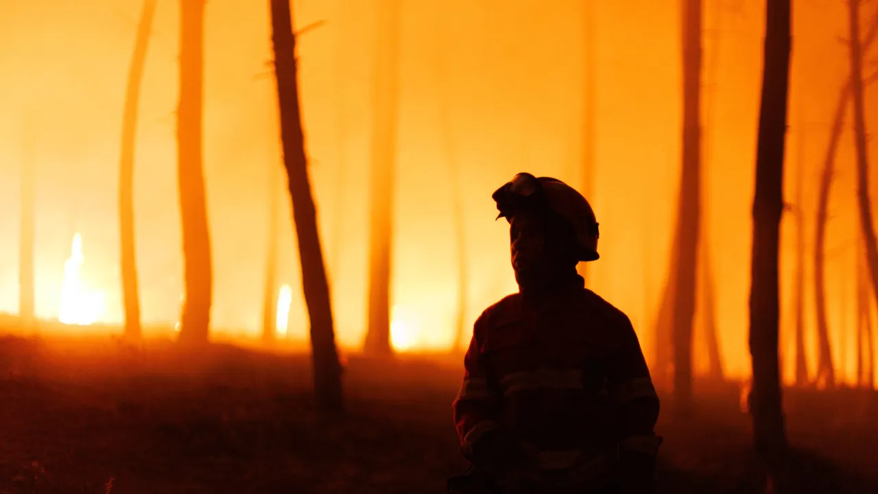
As of January 1st, statistics from the Integrated Rural Fire Management System (SGIFR), under the management of the Agência para a Gestão Integrada de Fogos Rurais (AGIF), indicate that 5,211 fires have occurred, resulting in 41,644 hectares of burned area.
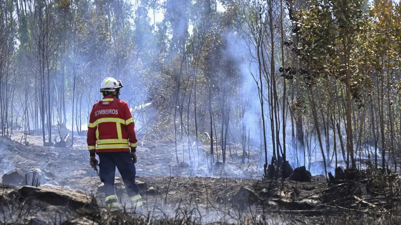
The SGIFR portal reports that 72% of the burned area and 53% of the fires this year occurred in the North region, with the districts of Viana do Castelo, Braga, Vila Real, and Porto experiencing heightened fire activity in the past week.
According to the portal, more than half of the area was consumed by flames since July 26th.
Comparing this period to 2024, the number of fires has nearly doubled, and the burned area is eight times larger. In 2024, by August 5th, 4,671 hectares had burned, whereas this year saw 41,644 hectares affected by fire.
However, the total burned area in 2024 was 147,000 hectares, with 135,000 hectares burning in just six days during the fires of September.
In the last decade, the burned area numbers as of August 5th were only higher in 2017 (147,953) and 2022 (62,734).
Following the North, with a total of 2,864 fires and 30,002 hectares burned, the Alentejo region has the second largest burned area (7,079 hectares), followed by the Center (4,033 hectares), Lisbon and the Tagus Valley (503 hectares), and the Algarve (27).
In the Center region, 792 rural fires occurred, 861 in the Lisbon and Tagus Valley region, 510 in Alentejo, and 184 in the Algarve.
Although most fires are still under investigation, data indicates that 19% of the fire incidents were caused by the use of fire and 14% by arson.
According to SGIFR statistics, 14% of the fires occurred this year on days with a ‘very high’ fire risk, 5% on days with ‘maximum’ risk, and 50% on days with ‘low’ risk. On days with the lowest risk, 86% of the burned area occurred.
Continental Portugal is under a state of alert from Sunday until Thursday due to the high fire risk.