

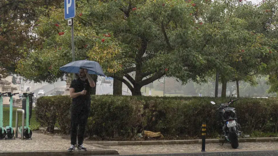
After a week of cold weather with little rain, it’s time to keep boots and umbrellas at hand.
Residents of the North and Center regions should prepare for rain returning this Sunday, possibly extending to the Upper Alentejo by late afternoon.
The Portuguese Institute for Sea and Atmosphere (IPMA) also indicates the possibility of snow at the highest points of Serra da Estrela starting late afternoon.
On Monday, rain will become widespread across the mainland. The week from November 24 to 30 will start with precipitation, especially in regions north of the Montejunto – Estrela mountain system. This is due to a frontal system approaching on the 23rd and the cold front passing across the mainland on the 24th, leading to more intense precipitation in Minho and Douro Litoral.
The rest of the week will mostly experience partly cloudy skies, with frost forming in the interior North and Center regions and fog forming in river valleys.
Temperature fluctuations will be significant, with the difference between minimum and maximum values ranging from 8°C to 10°C, even in coastal areas. Expect cold nights accompanied by moderate northern winds, occasionally strong on the western coast and in highlands until midweek, increasing thermal discomfort.
Minimum temperatures may drop below zero in the highlands of the North and Center interiors, such as Bragança, which may reach -1°C next Wednesday. In coastal regions, minimums will range from 6°C to 10°C.
Maximum temperatures will be between 8°C and 12°C in the eastern parts of the North and Center regions and between 14°C and 17°C elsewhere.
In Lisbon, temperatures will range from 7°C to 17°C this week, while in Porto, they will vary between 5°C and 17°C. In Bragança, temperatures will fluctuate between -1°C and 12°C, and in Évora between 3°C and 16°C.