

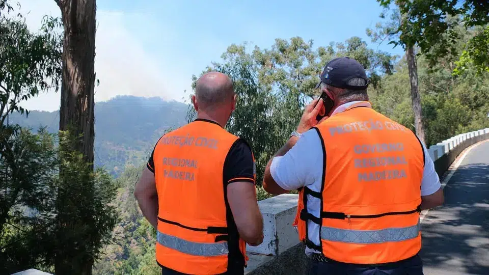
On Monday, the SRPC issued a statement reiterating a set of recommendations previously made, including the “clearing of rainwater drainage systems and the removal of debris and other objects that could be washed away or create obstacles to the free flow of water,” as well as the proper securing of loose structures like scaffolding.
The regional authority advises the public to exercise particular caution when traveling near wooded areas and the coastline. Travel to affected areas should be avoided, and the public should pay close attention to meteorological information and directives from Civil Protection and security forces, the SRPC further emphasized.
Civil Protection warns of possible falling branches or trees, as well as “damage to infrastructure associated with communication and energy networks.”
The passage of this depression may also cause loose objects to be blown onto roadways and structures to detach due to the predicted strong winds, potentially leading to accidents involving vehicles or pedestrians in public areas, the regional authority notes.
Urban flooding and drainage difficulties, among other occurrences, may also transpire, the civil protection adds.
The Portuguese Institute of the Sea and the Atmosphere (IPMA) forecasts “west/southwest wind, light to moderate, sometimes strong, with gusts up to 50-60km/h, reaching 70-90 km/h in highlands starting today.” On Saturday, the wind remains light to moderate, occasionally strong, “weakening throughout the day and becoming northward from the afternoon.”
Intermittent heavy rain accompanied by thunderstorms is expected until midday on Saturday.
On Madeira’s north coast, waves from the northwest may reach up to 4.5 meters, while on the south coast, they are not expected to exceed three meters.