
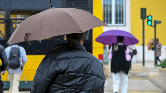
After weeks of sunshine and warmth, rain is finally on the horizon. The Portuguese Institute for Sea and Atmosphere (IPMA) has indicated that this Monday there will be “periods of rain,” although it will “generally be light.”
In the Northern and Central regions, the sky will be “generally very cloudy,” with “periods of light rain” anticipated. However, the intensity may increase “in Minho and Douro Litoral from the end of the afternoon.”
The wind will blow “light to moderate,” and there is also the “possibility of fog or mist in some areas,” along with a “slight drop in temperature, especially the minimum.”
The Southern region will experience a similar scenario, although there will be a “slight drop in the maximum temperature.”
Today, Monday, the districts of Évora, Faro, Santarém, and Beja will record the highest maximum temperature at 25ºC, while the district of Guarda will have a maximum of 16ºC.
The week from October 20 to 26 will be characterized by rain and a drop in air temperature, according to the Portuguese Institute for Sea and Atmosphere (IPMA).
The organization detailed that, in the coming week, “precipitation is expected due to successive frontal waves in a westerly flow.”
The next week will not only bring rain but also a drop in air temperature, according to the forecast by the Portuguese Institute for Sea and Atmosphere (IPMA).
Notícias ao Minuto | 19:48 – 18/10/2025
It should be noted that the Portuguese Institute for Sea and Atmosphere (IPMA) has made its forecast for the next three months, indicating that during this period, monthly average air temperatures will experience a positive anomaly, meaning it will be warmer than usual.
The analysis, published this Thursday, states that “for October and November, the anomaly is 0.5 to 1.0°C, decreasing to 0.25 to 0.5°C in December.”

The Portuguese Institute for Sea and Atmosphere points out that, in mainland Portugal as well as in the Azores and Madeira, the temperature will remain slightly above average.
Notícias ao Minuto | 23:53 – 09/10/2025