
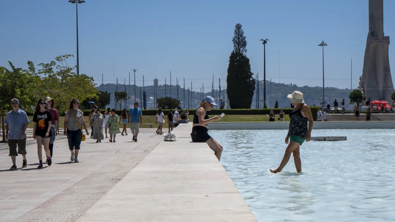
A hot Sunday is anticipated with a slight rise in temperature, marking the start of a week where the heat will persist, as forecasted by the Portuguese Institute of the Sea and Atmosphere (IPMA).
Today is expected to bring “hot weather with slightly cloudy or clear skies, though significant cloudiness will appear along the western coastal strip.” This cloud coverage “might persist throughout the day, especially north of Cabo Raso.”
An “temporary increase in cloudiness is also expected in mountainous areas of the interior North during the afternoon.”
The wind is predicted to be light, “occasionally moderate (up to 30 km/h) from the east in highlands, shifting to the west in the afternoon.”
Anticipation includes “mist or fog in some locations of the western coastal strip” and a “slight temperature increase, particularly in the southern region.”
Today, maximum temperatures are set to range from 41 degrees in Évora and Castelo Branco to 28 degrees in Viana do Castelo and Aveiro. Minimum temperatures will vary from 25 degrees in Portalegre to 15 degrees in Setúbal.
It should be noted that Vila Real and Bragança are under red alert due to the persistent very high maximum temperatures until 18:00 today. There are also yellow and orange alerts in effect across other districts of mainland Portugal due to the heat. These alerts will remain until midnight on Tuesday, the 12th of August, with many districts under yellow alert transitioning to orange.
What to Expect for the Rest of the Week?
Early next week, between August 11 and 13, very high temperature values are predicted in interior regions, where anomalies reach around 3°C, according to the weekly forecast by IPMA. In these regions, “maximum air temperatures will exceed 40°C in many places, continuing the heatwave begun in the last week of July.”
Additionally, “tropical nights (minimum temperatures equal to or exceeding 20°C) will extend over much of the territory, except the coastline north of Cabo Roca.”
According to IPMA, these temperature values “are due to the influence of very hot air masses over the Iberian Peninsula and North Africa, reinforced by southern flow affecting, in particular, the southern region and the interior of the northern and central regions.”
However, from August 14, with wind changing to the west, “there will be greater maritime influence, with a significant drop in temperature and a temporary increase in cloudiness on the coast.” Maximum temperatures “will reach around 25 °C on the west coast and below 35 °C inland.” According to IPMA, “tropical nights are not expected to occur in most of the territory.”
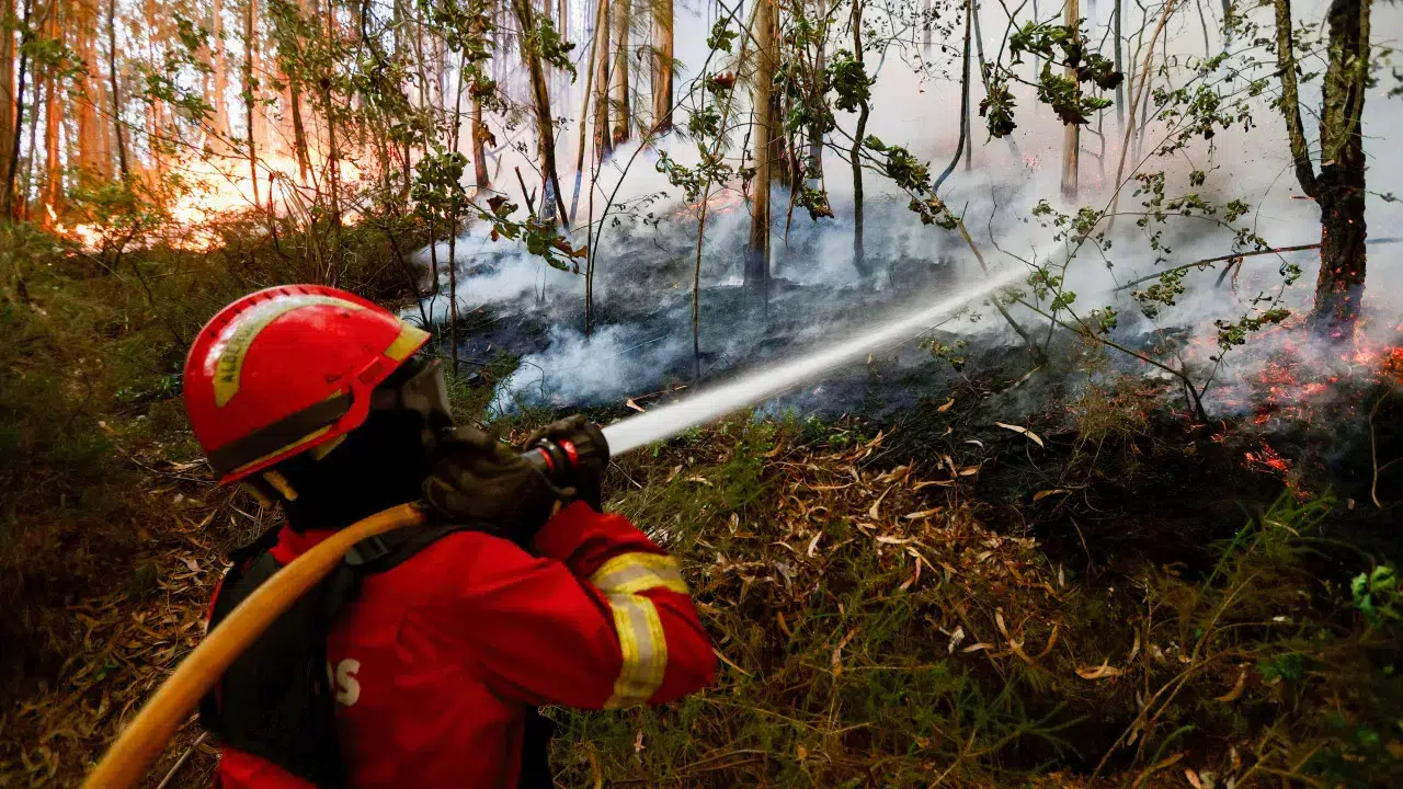
It should be recalled that the government renewed the alert status on Thursday until Wednesday, August 13, due to the risk of forest fires.
The renewal of the alert status is based on two main reasons: the continuation of high temperatures throughout the country in the coming days and the reduction of ignitions due to imposed prohibitions.
Among the measures in force is the prohibition of access, circulation, and permanence in forested areas, according to municipal forest defense plans against fires, as well as carrying out burns, with authorizations issued for this period equally suspended.
The alert status also includes a ban on working in forest and rural areas using machinery and the use of fireworks and other pyrotechnic devices, with already issued authorizations being suspended accordingly.