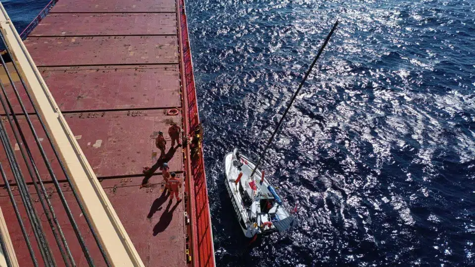

The operations of TAP may be impacted from Thursday to Saturday due to Hurricane Gabrielle passing through the Azores, the airline warned on Wednesday.
“The operation of TAP to/from Ponta Delgada and Terceira may be affected between September 25 and 27 by adverse weather conditions caused by Hurricane Gabrielle passing through the Autonomous Region of the Azores,” the airline stated in a post on Facebook.
TAP advises passengers to check flight status here before heading to the airport.
SATA also issued a warning
The Azorean airline SATA also released a note on its website warning passengers about the potential impact Gabrielle could have on its operations.
“Due to the approach of Hurricane Gabrielle to the Autonomous Region of the Azores, the operation of SATA Air Açores and Azores Airlines may face disruptions between September 25 and 27,” it noted.
As a support measure for passengers, SATA “will allow all clients with flights scheduled for September 25 and 26 to change their reservations without penalties or fare differences.”
The airline also recommends passengers monitor updates on its website or contact customer support services for more information.
Ponta Delgada closes roads and public spaces
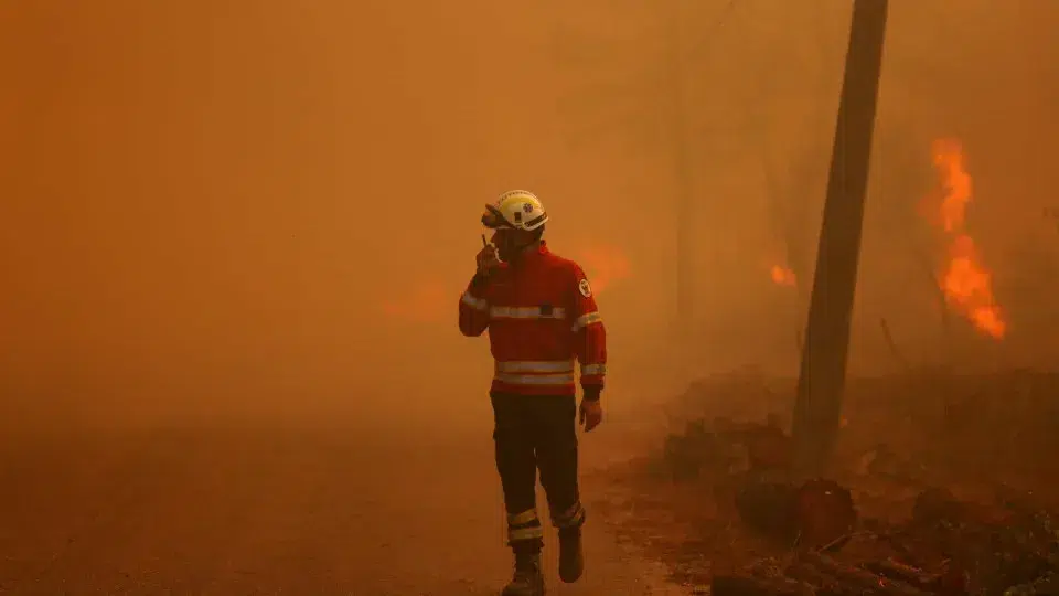
Some roads and public spaces in Ponta Delgada, on the island of São Miguel, will close this Thursday due to the passage of tropical cyclone Gabrielle through the Azores archipelago, the City Hall announced.
In a statement posted on social media, the Ponta Delgada City Hall informs that starting at 3 p.m. local time (one hour earlier in Lisbon) on Thursday and “until further notice,” Jardim António Borges and Parque Municipal do Relvao will be closed to the public.
The municipality has also decided to “prohibit pedestrian and vehicular circulation on Avenida do Mar (both sections) and close the bathing structures at Forno da Cal, Milícias, Pópulo, and Mosteiros (Beach and Caneiros).”
The note further warns of the “possibility of closing Avenida Dr. João Bosco da Mota Amaral, on the section between the Ponta Delgada Naval Club and the wastewater treatment plant.”
Cyclone arrives in the Azores today
The first effects of tropical cyclone Gabrielle are expected to be felt in the Azores from the end of Thursday, with it expected to reach the region with Category 1 hurricane force.
The Azores Forecast and Meteorological Surveillance Center of the Portuguese Institute of the Sea and the Atmosphere (IPMA) indicated that at 9 a.m. local time (10 a.m. in Lisbon), tropical cyclone Gabrielle was located approximately 2,190 kilometers west of the Western group of the Azores, moving northeast at a speed of 41 kilometers per hour.
According to meteorologist Rita Mota from the IPMA’s Azores delegation, “currently, cyclone Gabrielle is classified as a Category 3 hurricane on the Saffir-Simpson scale” (a scale from 1 to 5, with 5 being the most severe category).
The IPMA maintains that “the center of the cyclone should pass between the Western and Central groups, closer to the islands of the Central group.”
Considering the available meteorological information so far, adverse weather conditions are expected, especially in the Western (Flores and Corvo) and Central (Terceira, São Jorge, Pico, Graciosa, and Faial) groups, added the IPMA.
The islands of the Western and Central groups of the Azores will be under red warning due to heavy rainfall, maritime agitation, and wind, in effect from Thursday night due to the cyclone’s approach.
In the islands of Flores and Corvo, the red warning for heavy precipitation is in effect between 9 p.m. on Thursday (10 p.m. in Lisbon) and 6 a.m. on Friday.
The IPMA also issued a red warning for maritime agitation, for the period between midnight and 9 a.m. on Friday, with southwest waves changing to north, and the maximum wave may reach 14 to 18 meters.
The red wind warning for these two islands is in effect from midnight to 6 a.m. on Friday, blowing from the east, changing to north.
In the islands of Terceira, Faial, Pico, São Jorge, and Graciosa, which constitute the Central group, there is a red wind warning (from the south, changing to northwest) in effect from midnight to 9 a.m. on Friday.
The IPMA also issued a red warning for the same group, valid between 3 a.m. and noon on Friday, related to maritime agitation, with southwest waves changing to northwest, and the maximum wave may reach 14 to 18 meters.
In the Eastern group (Santa Maria and São Miguel), three yellow warnings are in effect regarding maritime agitation, rainfall, and wind, from 6 a.m. to 6 p.m. on Friday.